Estimating a lake's volume without a boat
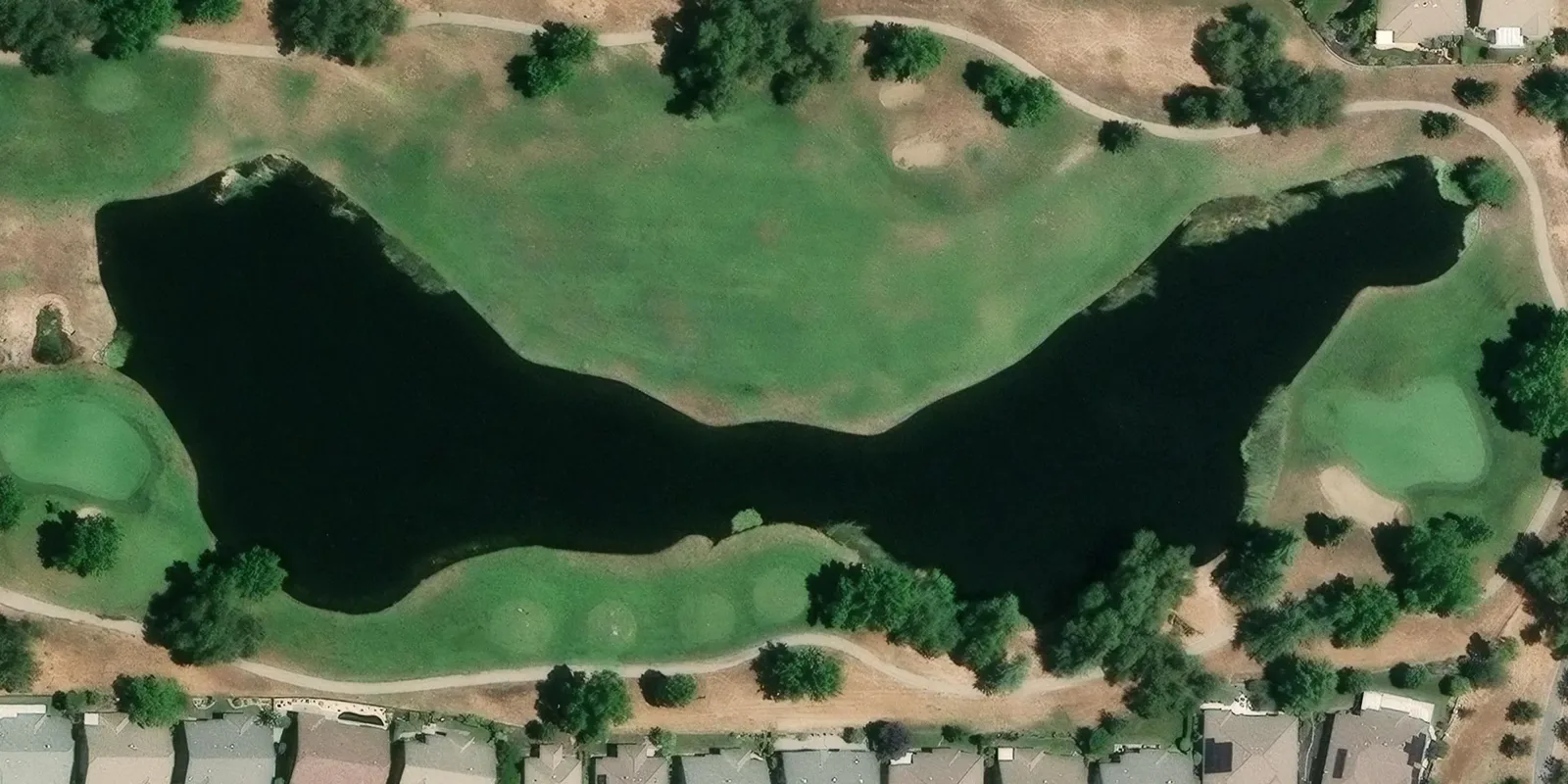
Treating a lake means knowing its volume, and measuring the volume usually means sonar from a boat. PondTools gets a planning figure from a desk.
Trace water finds the edge of the water on a satellite photo and draws the outline, which you can adjust. Bare-earth elevation for the land around the lake comes from the USGS 3DEP LiDAR survey, which covers most of the United States.
LiDAR stops at the water's surface, so the depth of the bed is estimated from how steeply the surrounding ground slopes, using a method the EPA published in 2011. One lake mapped this way came out at 921 by 316 feet, about 1.37 million gallons or 4.2 acre-feet, with an estimated deepest point of 48 inches. Check the depth on site before dosing anything sensitive.